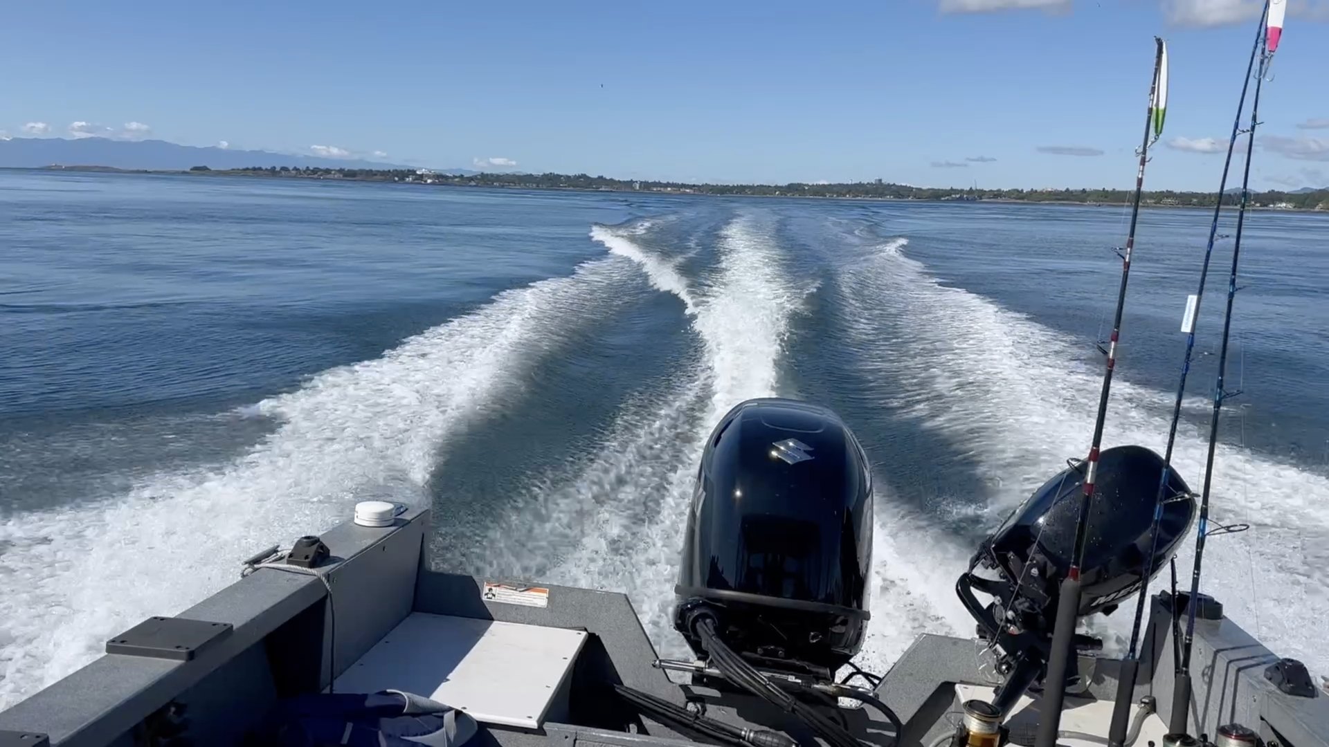
NMEA 0183 & 2000 connectivity
Bring live onboard sensors into the chart and instrument dashboard over a compatible WiFi gateway.

Download SeaVectors
See SeaVectors
Explore real workflows for route planning, marine weather, cruising, and reading the chart.
Watch route planning on iPad with touch-first controls and helm-friendly layout.
Built for the whole passage
From official chart data to live onboard instruments, every feature is designed to support a clearer decision.
NOAA ENC coverage for the United States and detailed Canada West Coast vector charts, rendered with S-52 symbology. Set safety depth, control layers, and read lights, sectors, buoys, and hazards as real chart objects.
Read related articleBuild multi-leg routes with distance, ETA, and fuel estimates. Run the built-in simulation to inspect each leg and watch the vessel and instruments respond before leaving the dock.
Read related articlePlace wind, rain, waves, currents, and official tide stations directly on the chart. Save up to 14 days of marine forecasts before departure for use beyond cellular coverage.
Read related articleConnect NMEA 0183 or NMEA 2000 over WiFi. Live depth, speed, heading, wind, engines, batteries, tanks, fuel, and AIS feed a customizable, instance-aware dashboard.
Read related articleSee nearby traffic ranked by risk, inspect CPA and TCPA, and receive visual or audible warnings when a target crosses your thresholds. AIS supports your lookout; it never replaces it.
Read related articleKeep browsed charts available offline, download forecasts before a passage, and manage local storage in one place. Your onboard NMEA connection continues without internet access.
Read related articleRecord where you actually traveled, save routes and markers, attach notes, photos, or videos, and return to the details that made a passage work—all organized in My Data.
Read related articleSearch marine places, tune chart layers, and receive chart-aware restricted-area, fishing-closure, and danger alerts without turning the chart into a wall of noise.
Read related articleThis is SeaVectors
Plan a route, review weather and tides, prepare charts and forecasts for offline use, then navigate with your vessel, instruments, and nearby AIS traffic in context.
SeaVectors keeps the chart at the center. The tools you need are close at hand; everything else stays out of the way.
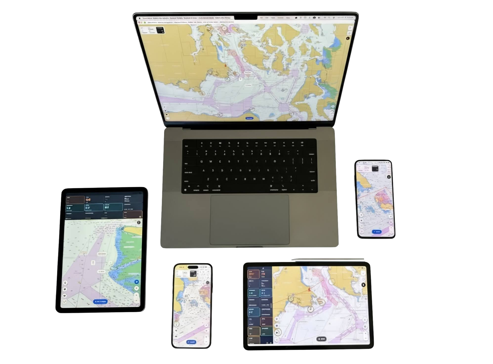
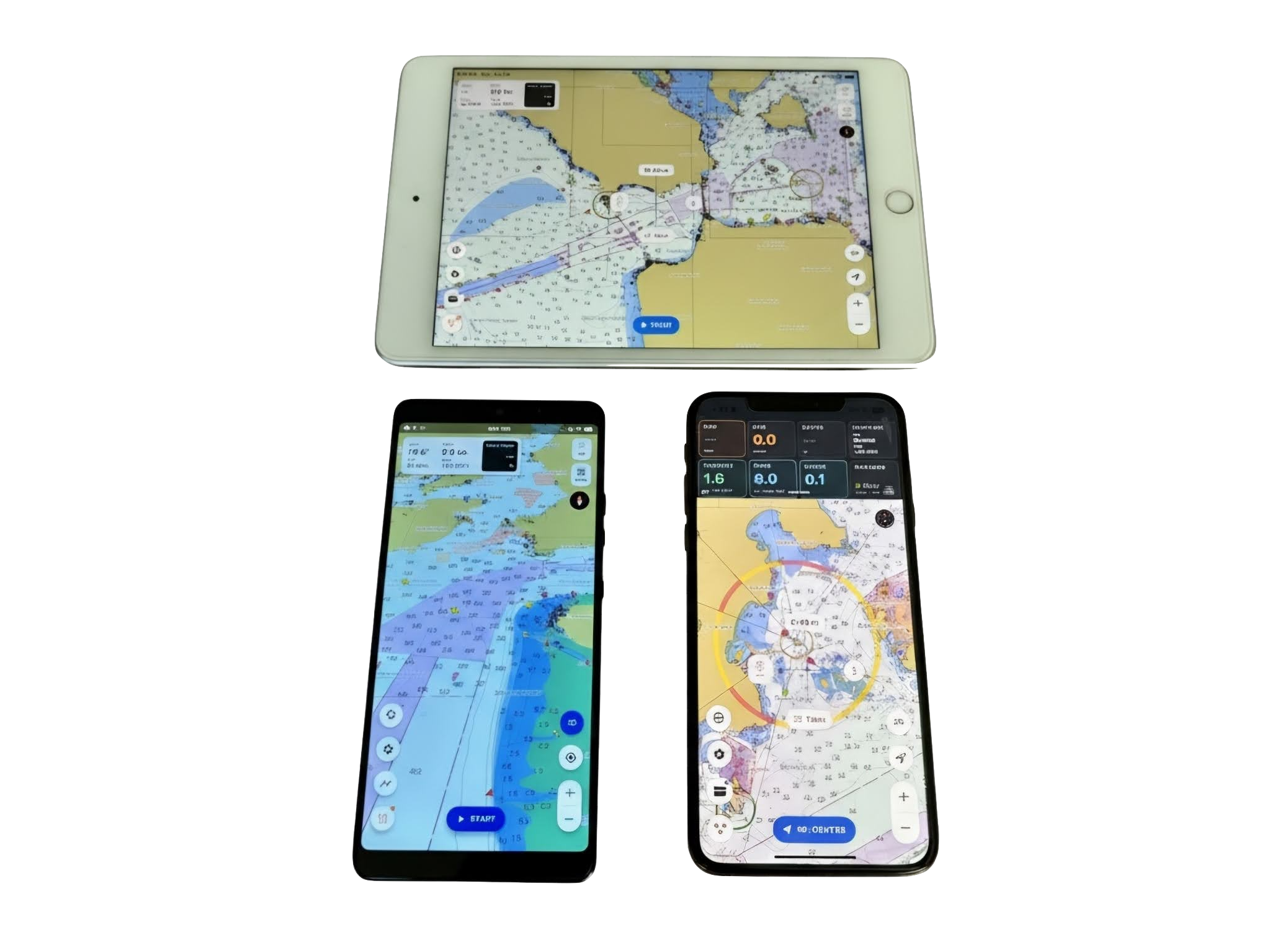
Fast on new hardware, clean and quiet at the helm.
Still using a trusty 8-10 year old tablet at the helm? No judgment. SeaVectors still runs happily there. Thank goodness for that.
The 30-day free trial includes charting, planning, weather, offline tools, NMEA instruments, AIS awareness, and your personal passage data—so you can evaluate SeaVectors with your own boat and waters.
Latest capabilities
Bring live onboard sensors into the chart and instrument dashboard over a compatible WiFi gateway.
Prepare wind, waves, currents, rain, and other passage conditions before heading beyond coverage.
Open SeaVectors in a browser for a quick chart preview and simple route planning without installing the app.
Chart Coverage
SeaVectors focuses on high-performance vector chart coverage for the United States and detailed Canada West Coast cruising waters, with chart data organized for online and offline use.