What's new in 2.0
SeaVectors 2.0 is easiest to appreciate on waters you already know. The 30-day free trial includes the complete experience, so you can explore the rebuilt chart engine, planning tools, weather, and instruments before deciding whether to subscribe.
- Download SeaVectors on the App Store
- Get SeaVectors on Google Play
- Not ready to install? Open the lightweight web chart for a quick preview.
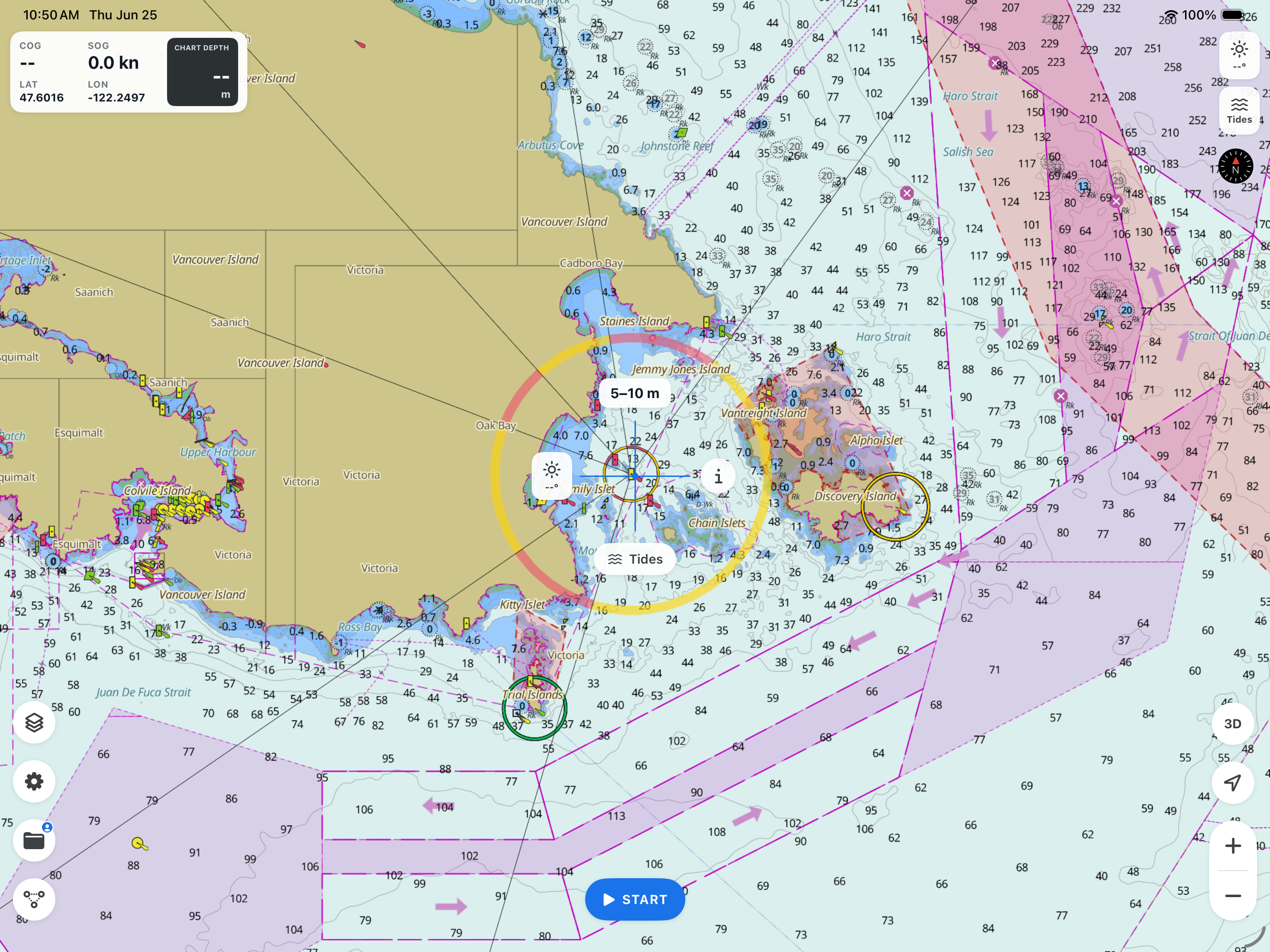
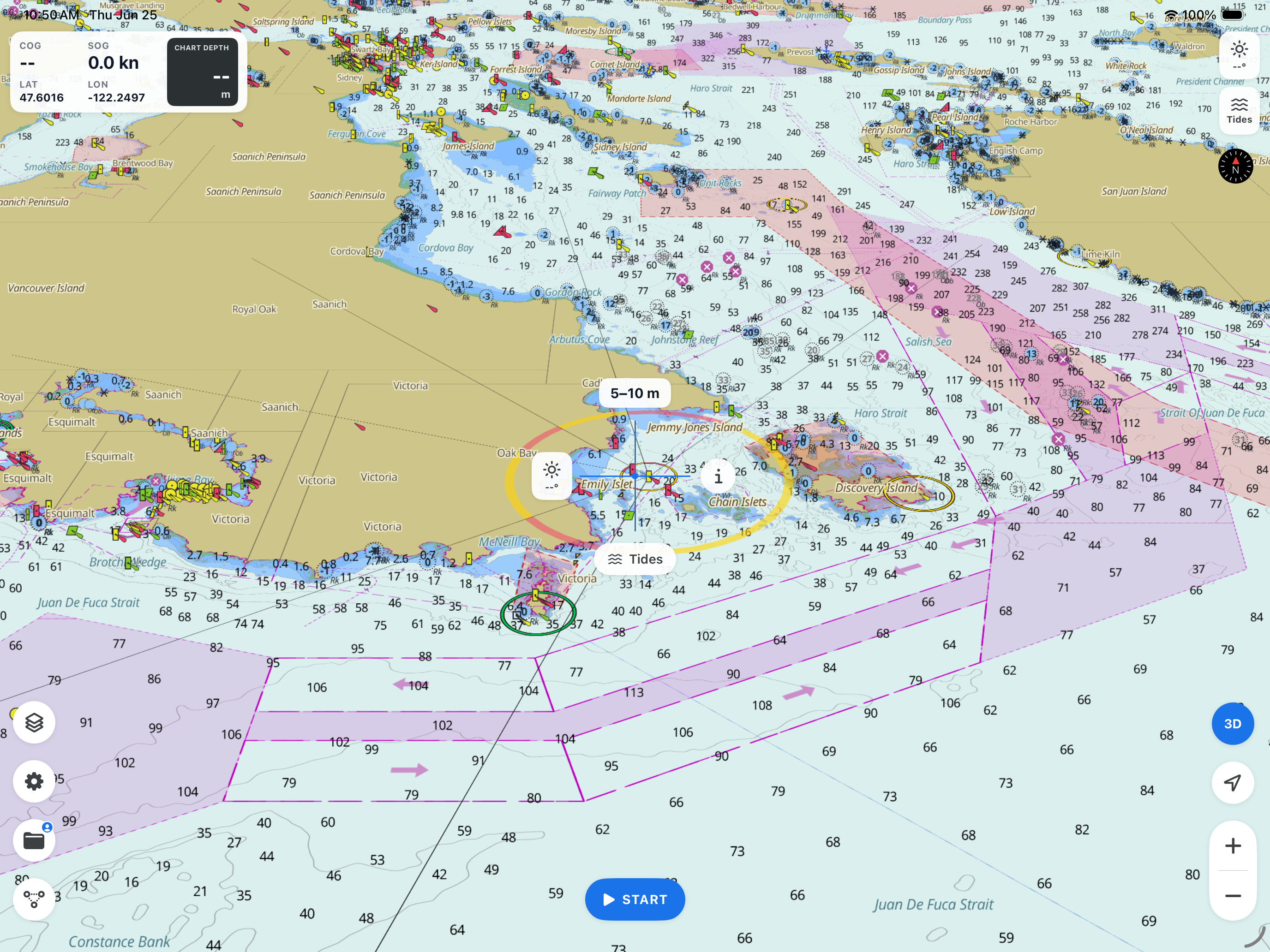
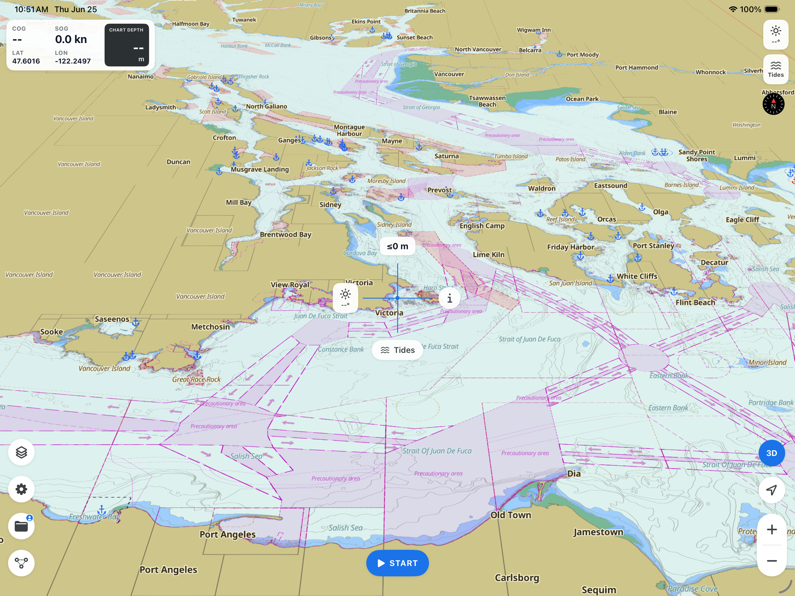
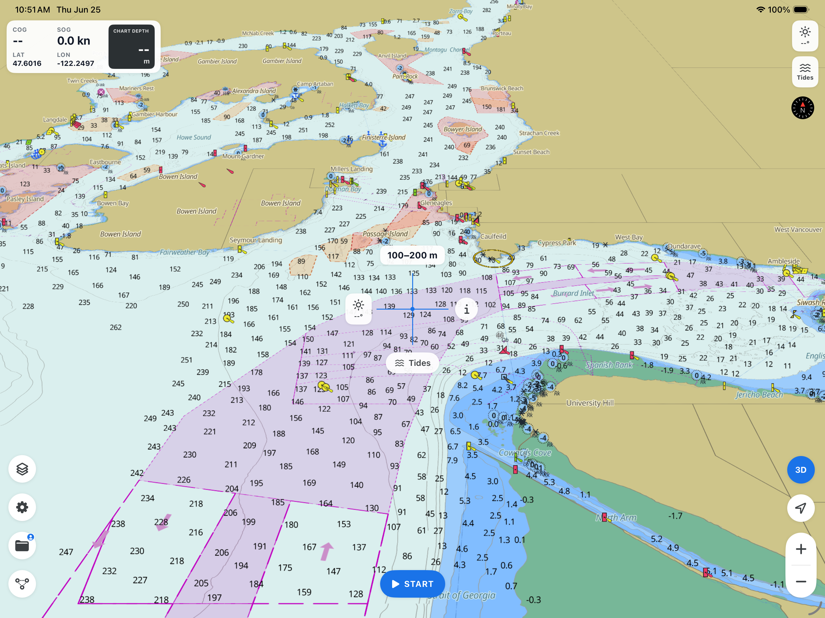
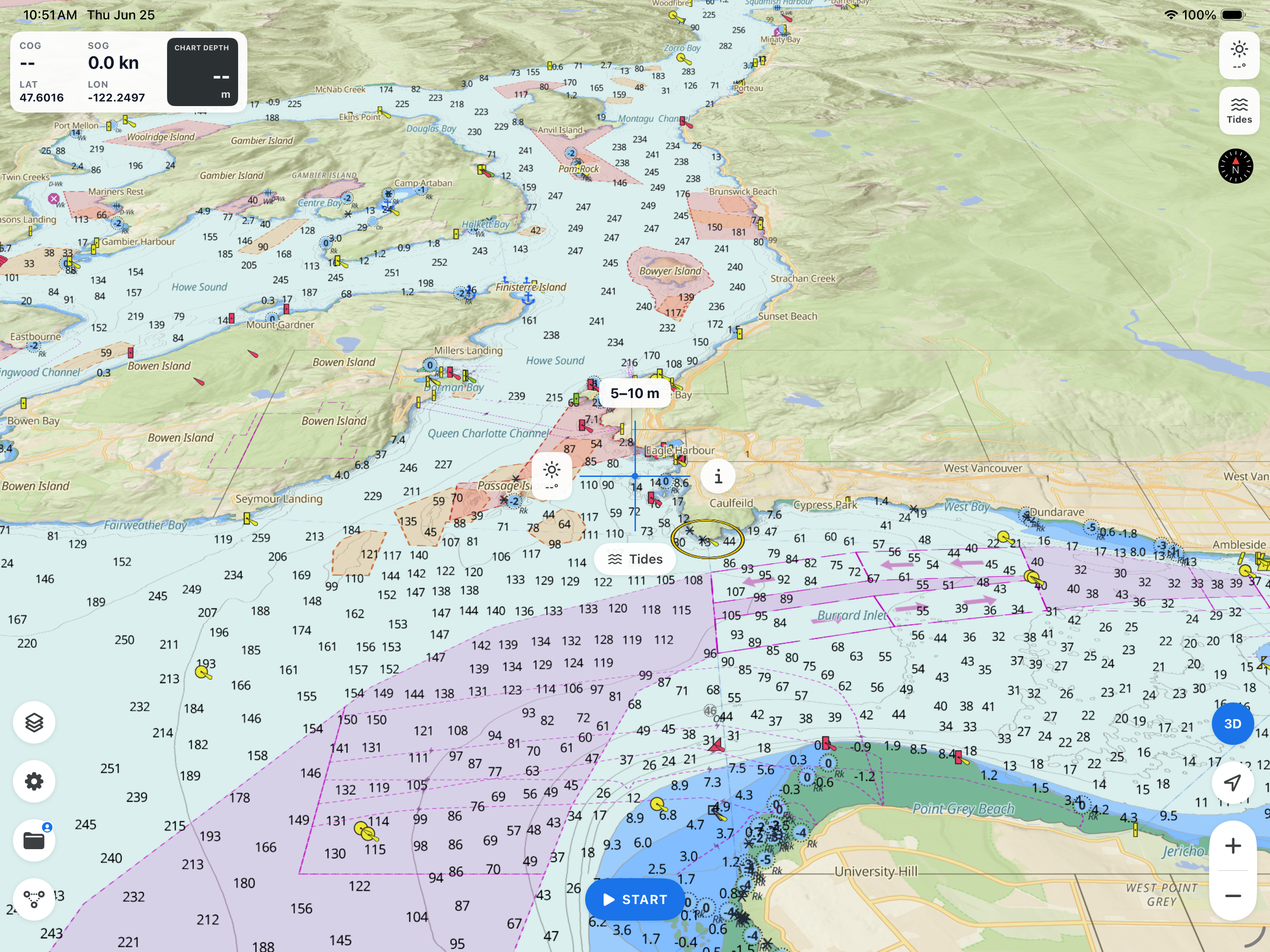
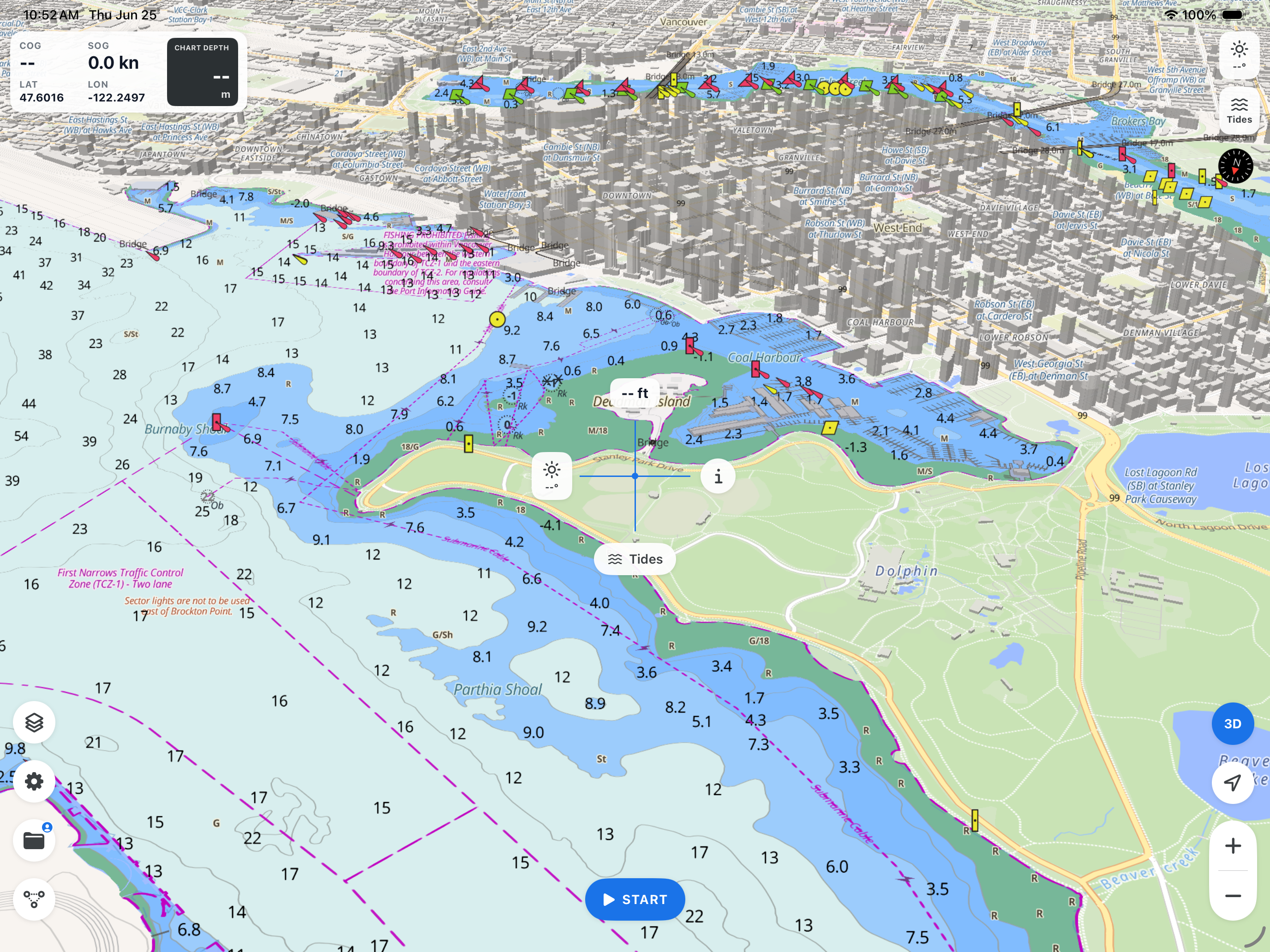
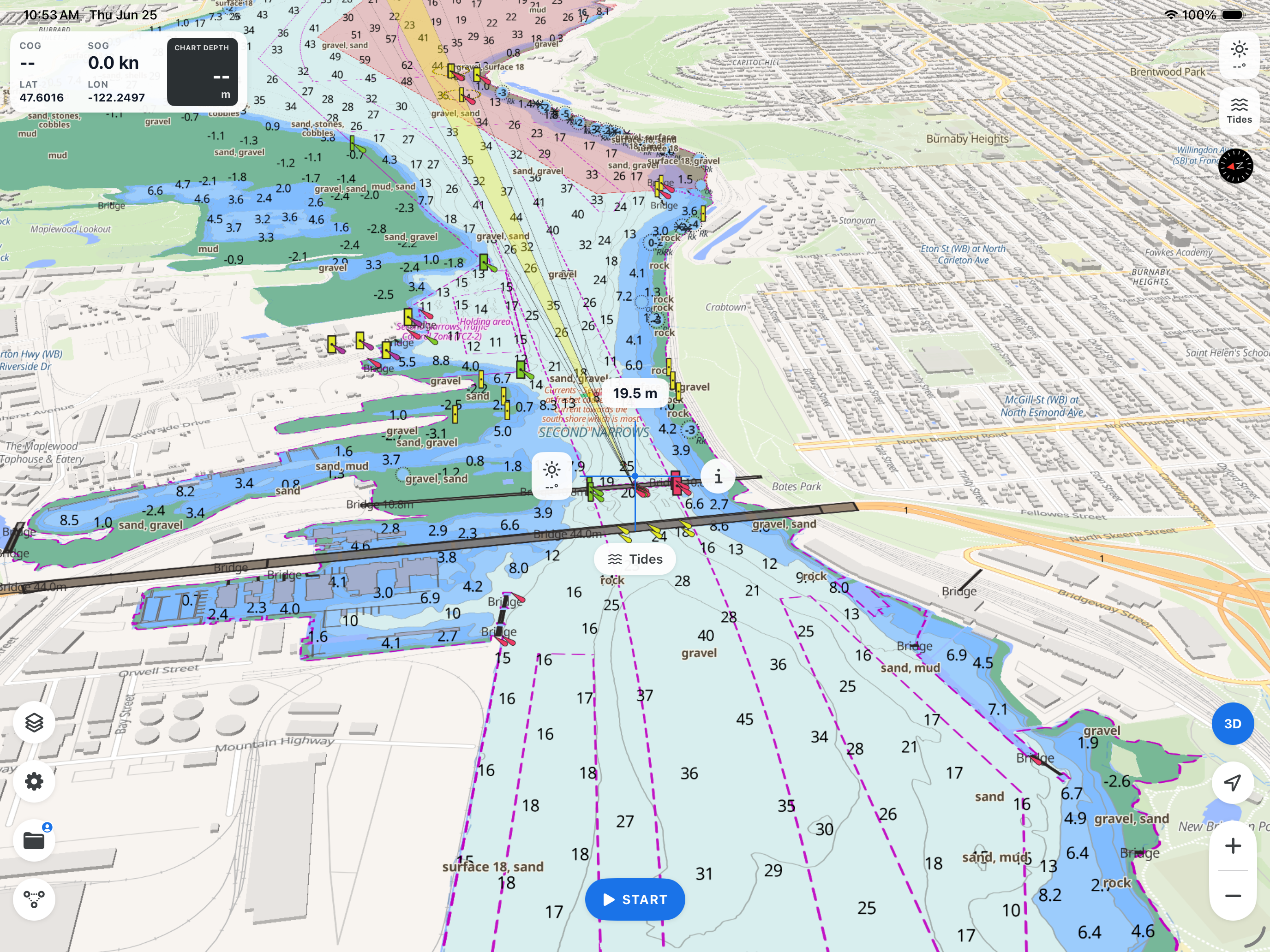
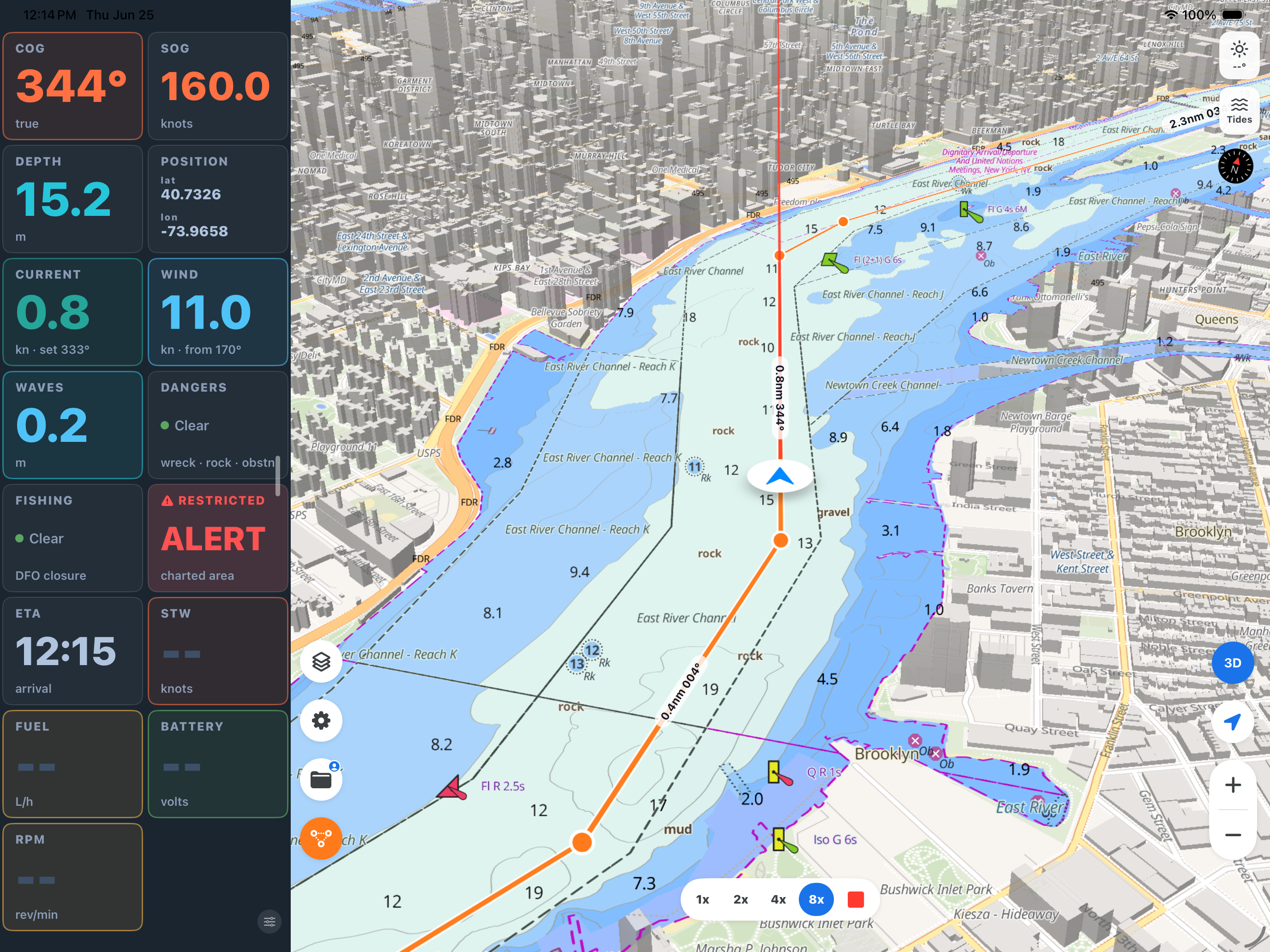
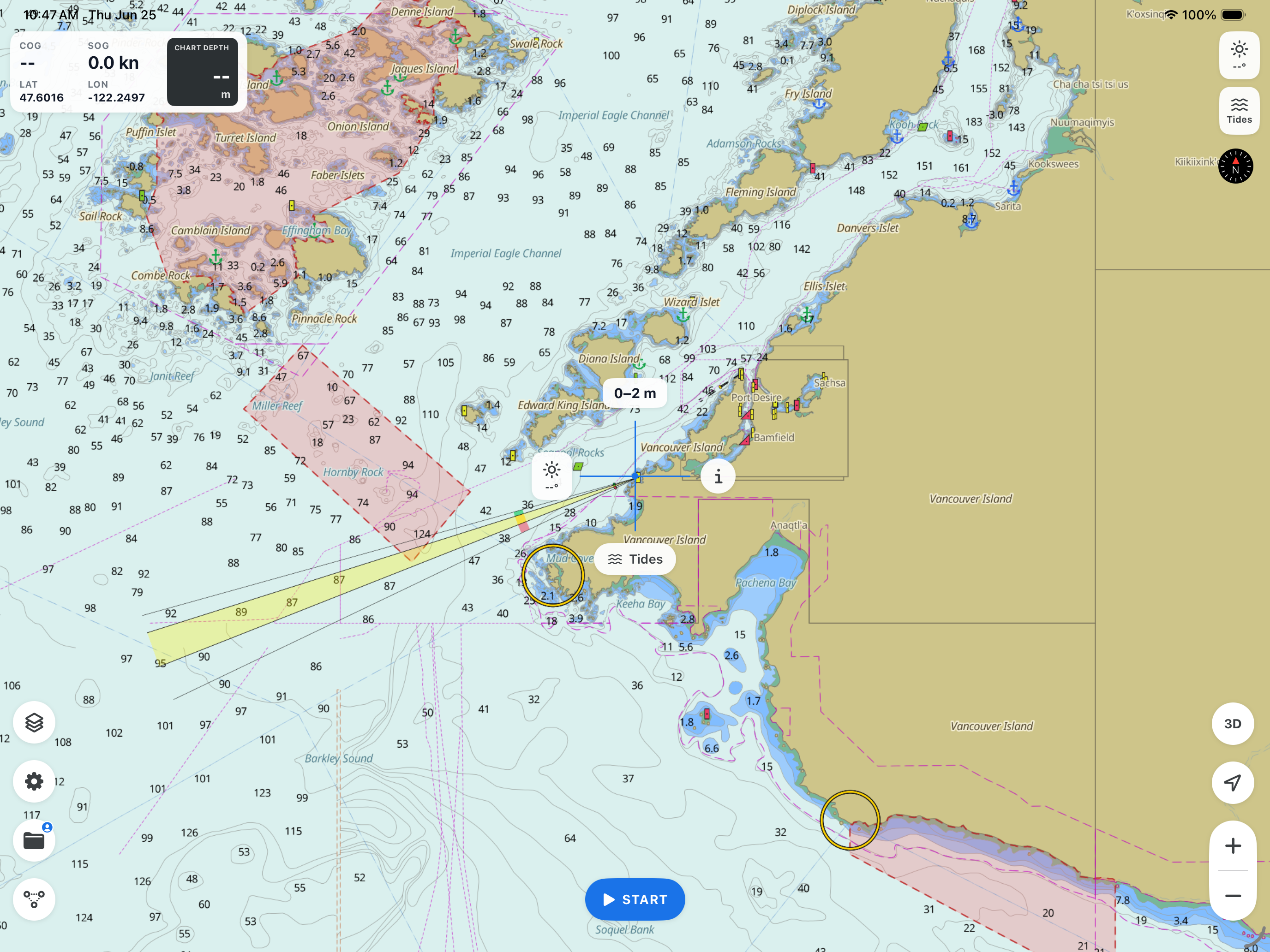
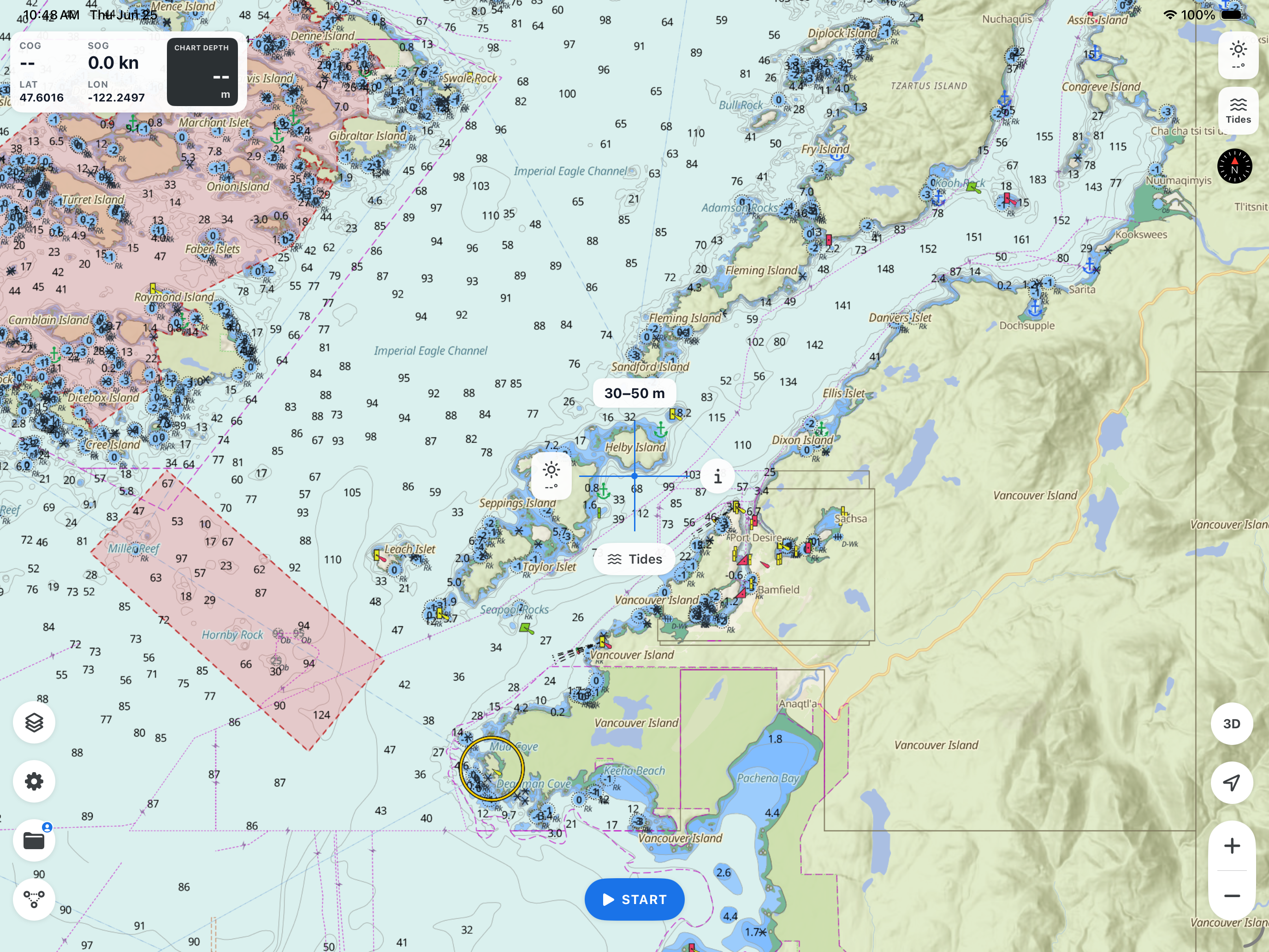
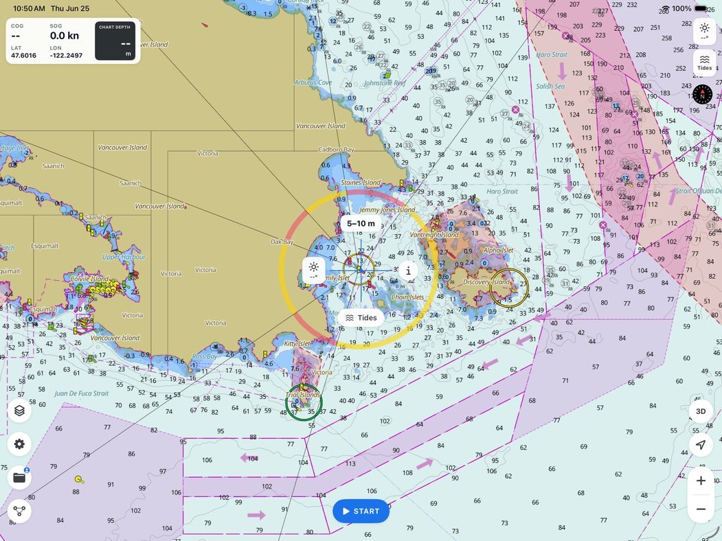
Professional-grade chart engine — high-performance NOAA ENC vector charts rendered to the official S-57 standard with S-52 chart symbology, delivering an ECDIS-grade chart experience on mobile. Includes night and satellite styles and fully configurable layers.
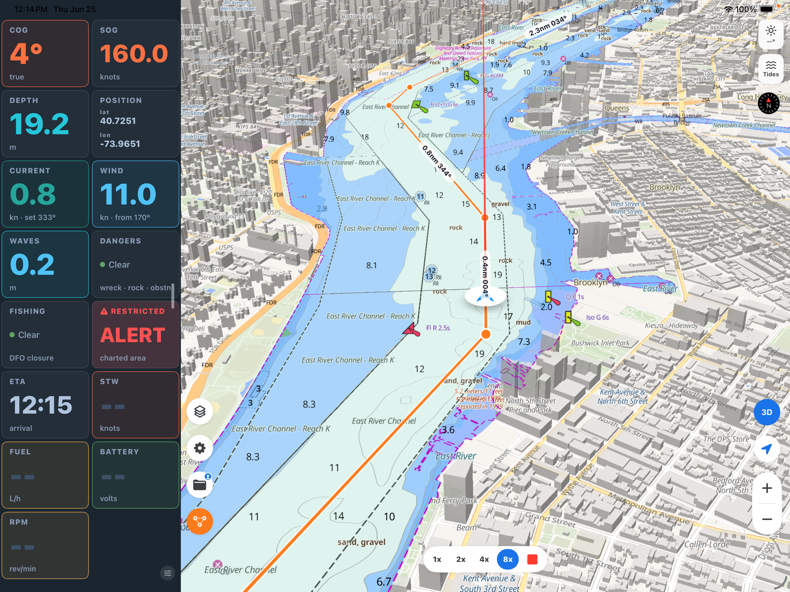
Advanced instrument panel — a customizable dashboard for SOG, COG with compass, charted depth, position, route ETA, and cross-track error, plus live wind, current, and wave data from the marine forecast. NMEA 2000–ready gauges for speed through water (STW), engine RPM, battery, fuel, and gyro heading activate the moment an onboard source is connected. Precision dials, smooth live updates, and a drag-and-drop, resizable layout.
Route planning & simulation — build and edit multi-leg routes directly on the chart, with live total distance, estimated time of arrival, and fuel estimates calculated at your speed. Save, reverse, and manage routes for any voyage, then validate any plan with built-in simulation that drives your vessel and instruments along the track before departure.
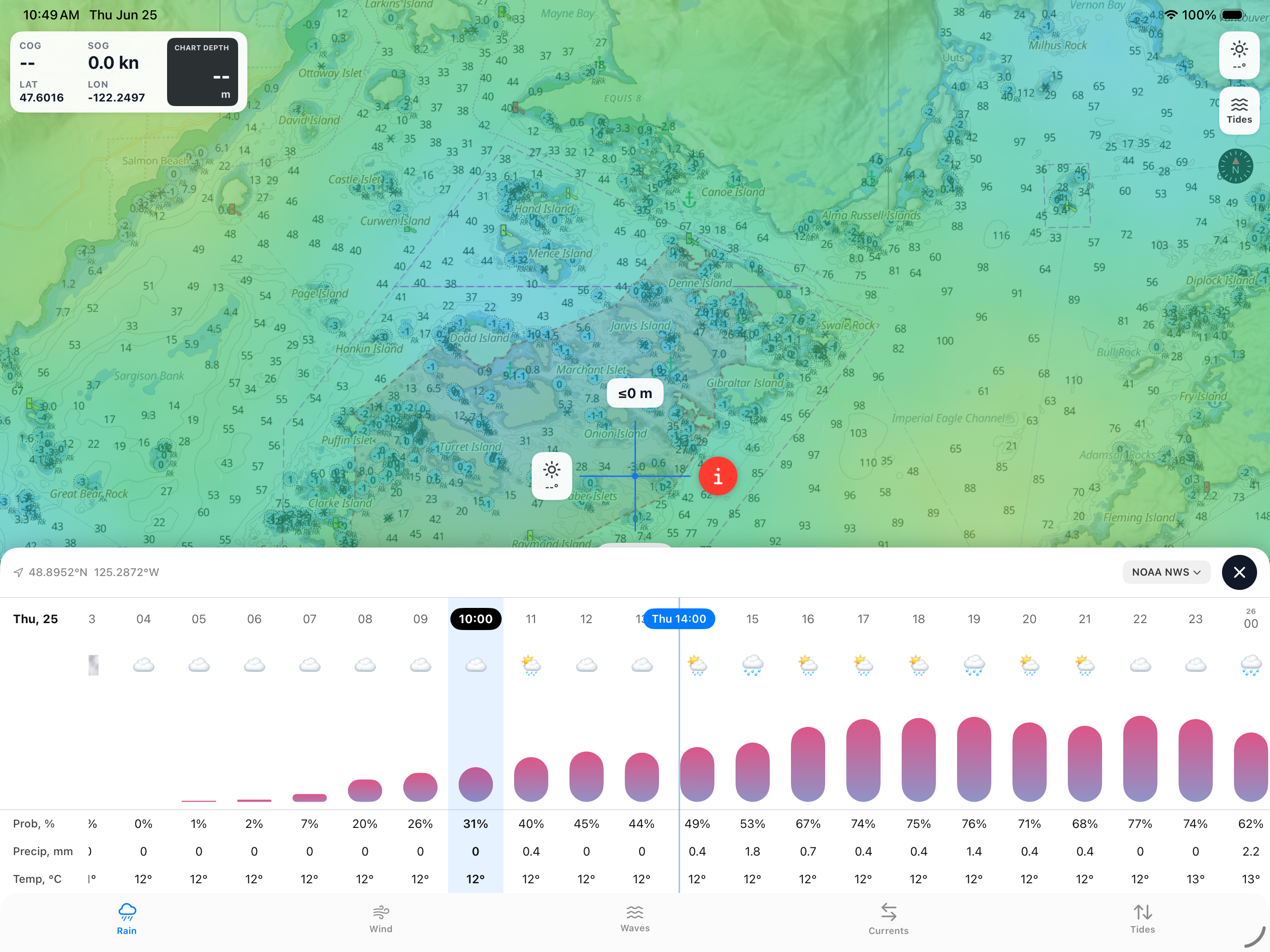
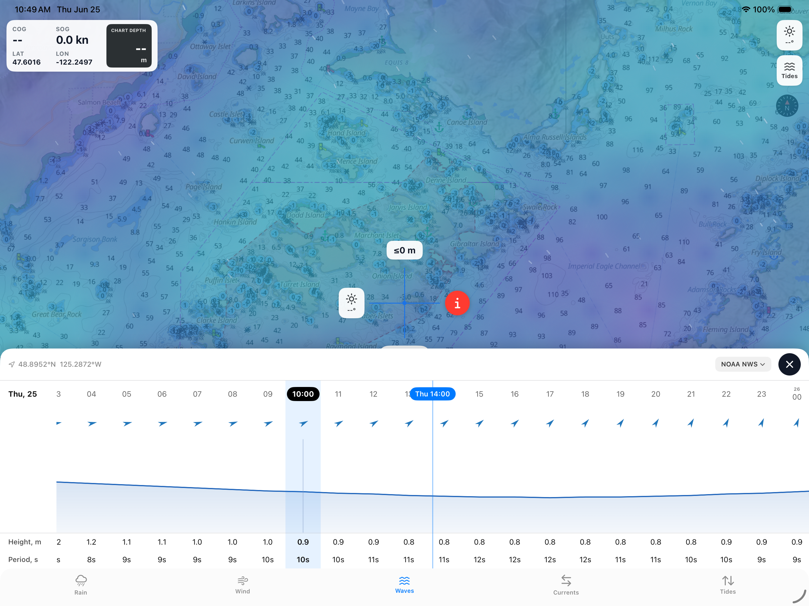
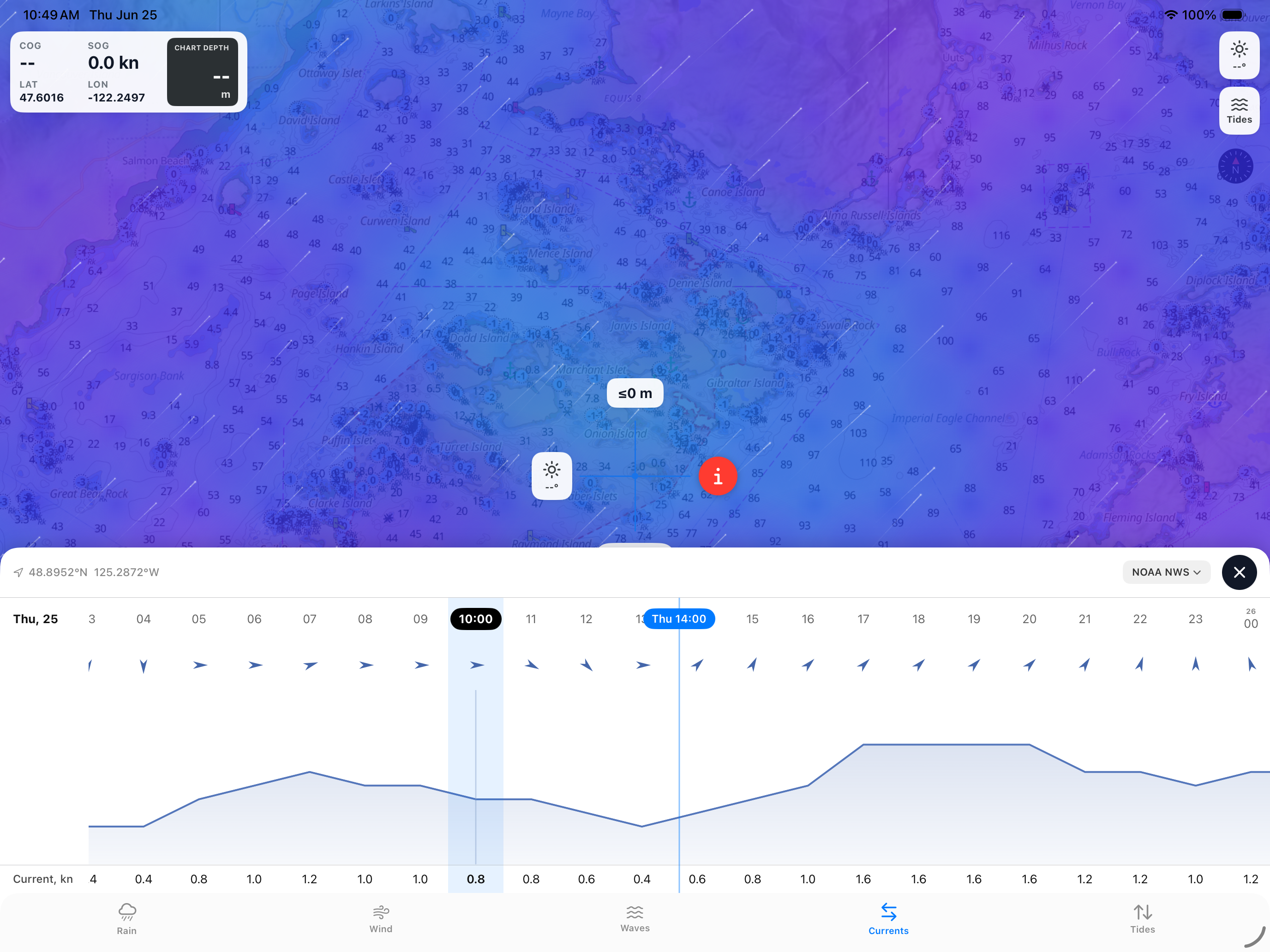
Advanced weather overlays — live, animated marine weather rendered directly on the chart: wind and gusts, wave height, currents with speed and set, precipitation, and air temperature. Forecasts are read at your exact position and feed the instrument panel, sourced from authoritative government providers including NOAA and Environment Canada, with automatic commercial-data fallback for continuous, gap-free coverage worldwide.
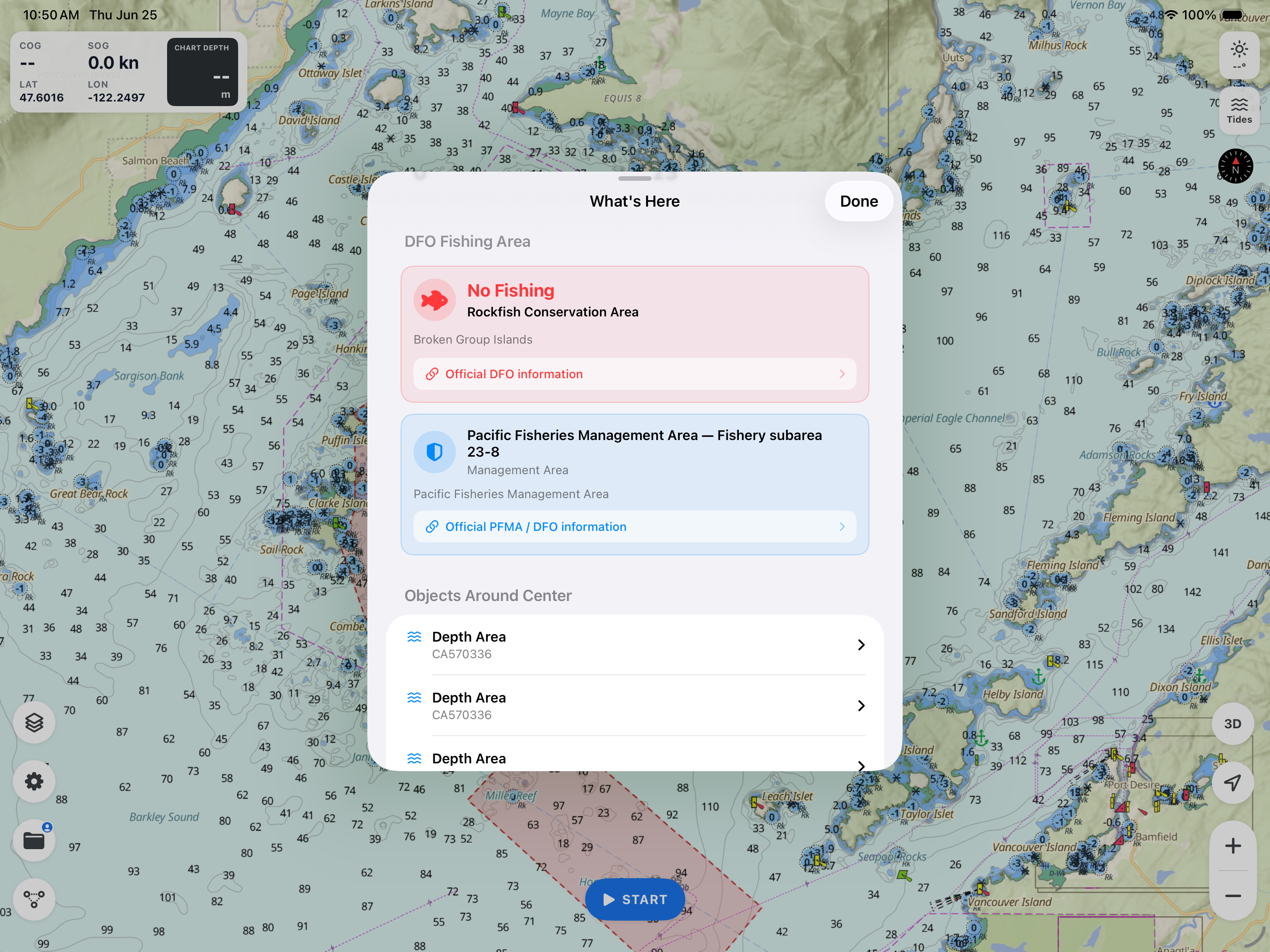
Intelligent alerts — real-time notifications when your vessel enters a charted Restricted Area or a DFO fishing closure — including rockfish conservation areas, reef closures, and marine refuges — each with detailed, tap-through information.
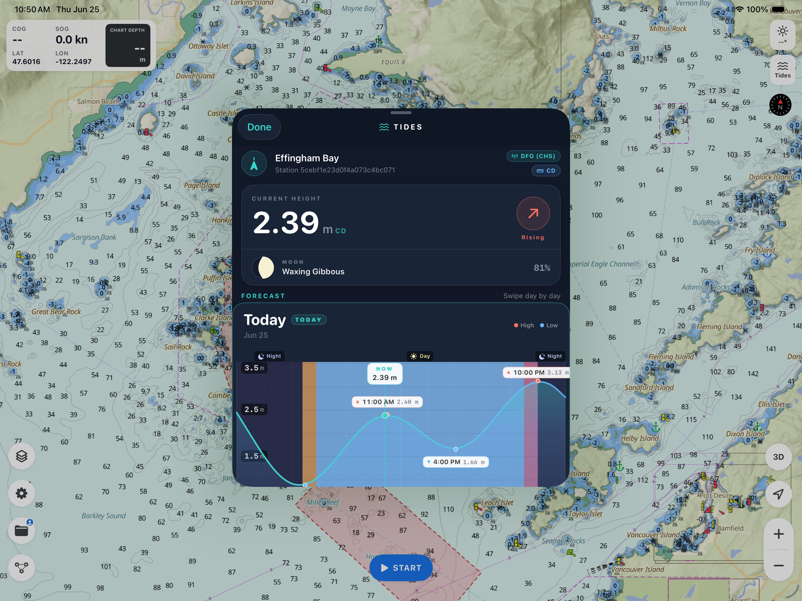
Tides & offline access — redesigned 30-day tide forecasts and automatic offline chart caching as you navigate.
My Data hub — one home for your tracks, markers, and routes. Recorded tracks capture distance, duration, and point count, with color-coding and on-map replay to retrace any voyage. Drop markers for fishing spots, hazards, or anchorages and enrich them with labels, notes, photos, and video. Everything is organized in a clean, unified interface and stored in fast on-device storage.
Detailed light portrayal — charted navigation lights rendered with their colored sectors, nominal ranges, and leading beams, faithfully following S-52 conventions for clear identification by day or night.
Redesigned experience — a refreshed, modern interface built for the helm: a cleaner layout, an intuitive navigation bar, refined typography and controls, and a new app icon. Optimized for phone and tablet in portrait and landscape, with smoother performance throughout.
Simplified Chinese — full localization.
More reliable — a fresh 30-day trial for every user, plus improved subscription and trial handling and stability and performance enhancements across the app.
To celebrate, everyone gets a fresh 30-day free trial — new and returning users alike. The new chart engine is something we're truly proud of, and we want every mariner to experience it. Update, open the app, and your 30 days start fresh. And even after the trial, you can keep using SeaVectors free for 60 minutes every day.
Thank you for choosing SeaVectors. Fair winds and safe passage.
SeaVectors 2.0 Release