
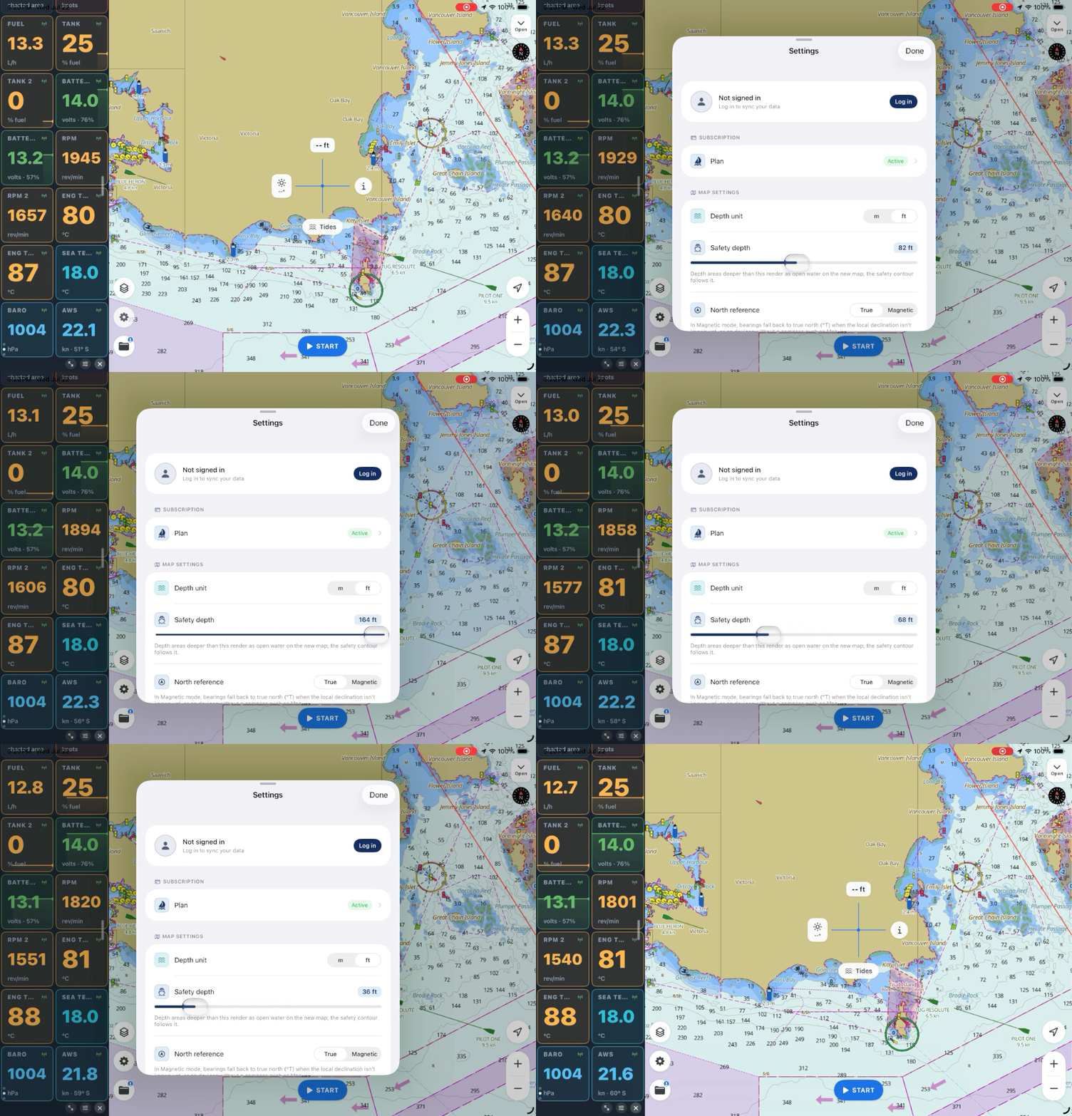
Every chart is drawn for every boat, which means it's drawn for no boat in particular. A dinghy and a deep‑keeled cruiser read the same soundings and the same contours, even though "shallow" means something completely different to each of them. The chart can't know your draft — unless you tell it.
In SeaVectors, you tell it once, with a single setting, and the chart quietly reorganizes itself around your boat.
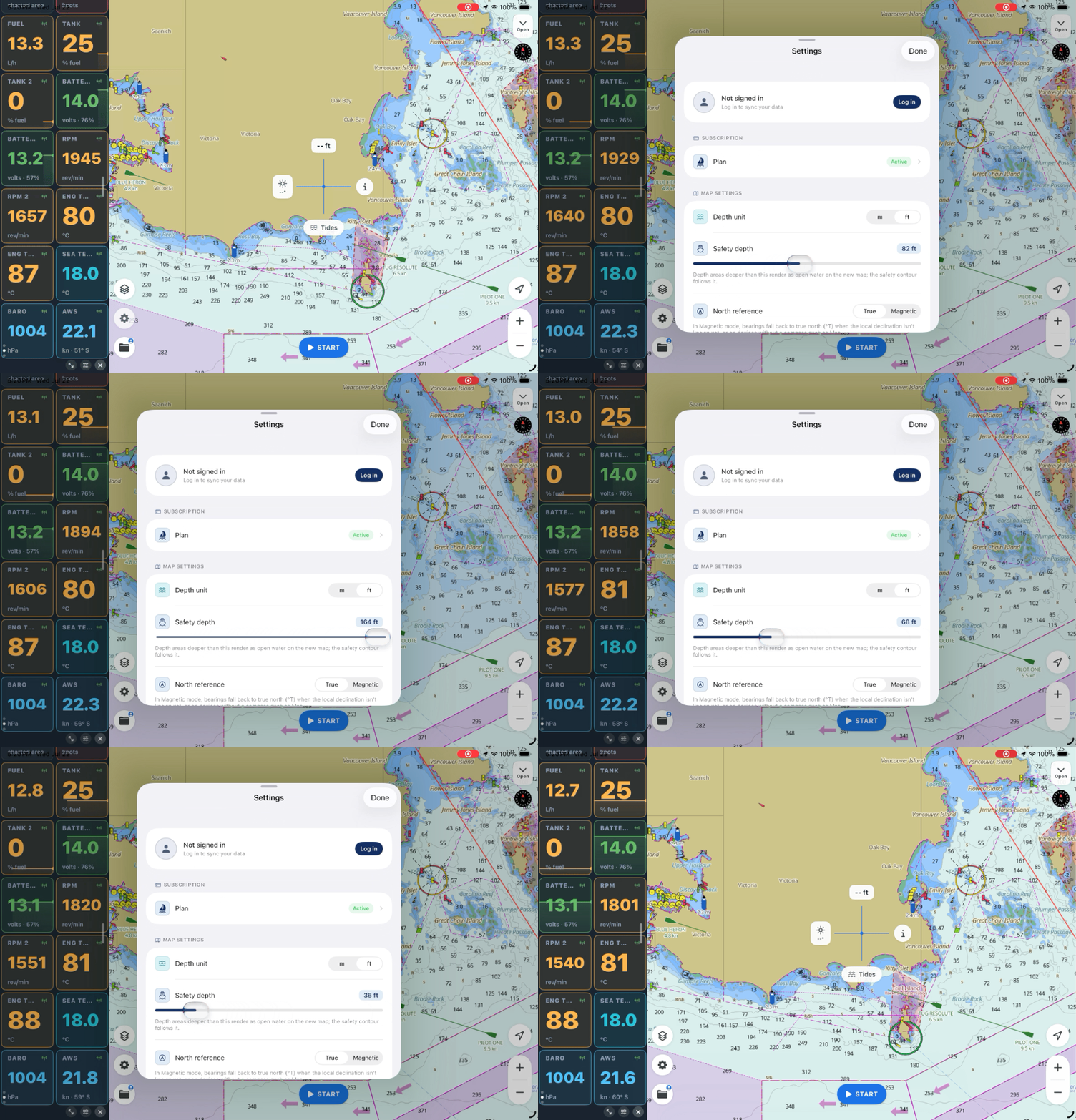
Set SeaVectors to your boat’s draft and safety margin, then revisit waters you know. The 30-day free trial includes the complete experience, so you can see how personalized safety depth changes the chart before deciding whether to subscribe.
- Download SeaVectors on the App Store
- Get SeaVectors on Google Play
- Not ready to install? Open the lightweight web chart for a quick preview.
What the safety depth actually does
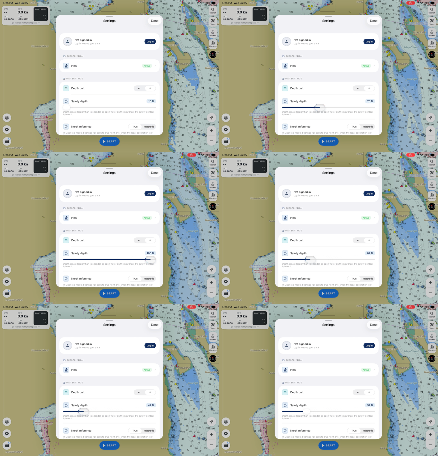
Open Map Settings and you'll find Safety depth, a slider from 5 to 50 metres. Set it to your draft plus a comfortable margin — the least water you're willing to see under the keel. Two things happen.
First, depth areas deeper than your safety depth render as open water. The chart stops shouting about water you'll never touch and lets the shallow water — the water that matters — stand out.
Second, and more importantly, the safety contour follows your setting. That's the line separating water that's safe for you from water that isn't. It's not a generic contour off the paper chart; it's your boundary, drawn for your draft. Suddenly the chart has an opinion about where you should and shouldn't go, and that opinion is correct for your boat.
Depths in the units you think in
While you're there, set your depth unit — metres or feet. It's not just cosmetic: it flows through everything. The charted depth under your boat in the nav bar, the sounding numbers on the chart, the safety depth itself — all of it reads in the unit you actually use, so you're never doing mental conversions at the wheel.
You can also tune how the soundings themselves appear: their size (small, medium, large), whether they're bold for readability underway, and how soon they show up as you zoom in. Small choices, but they're the difference between a chart you squint at and one you read at a glance from the helm.
It's the setting everything else leans on
Here's why this is the first thing to set, before you plan a single route. Your safety depth is the reference the rest of the app quietly uses. When you plan a passage, it's the boundary you're checking each leg against. When you simulate that passage, it's what tells you a leg runs too thin at low water. When you read the chart at a glance, the safe‑water shading is already speaking your boat's language.
Get it right and a dozen later decisions get easier, because the chart has already done the "is this deep enough for me?" arithmetic. Leave it at a default and you're back to reading a chart drawn for no boat in particular.
Why it matters
Good pilotage is mostly about margins — knowing how much water you have and keeping enough of it. SeaVectors can't add water under your keel, but it can make sure the chart is always showing you the margin that's true for your boat, on official ENC data drawn to the S‑52 standard.
That's a small setting doing a lot of quiet work. Set it once, honestly, with a margin you're happy with — and let the chart start working for your boat.
Start your 30‑day free trial on the App Store. For the full walkthrough, see Reading the chart and the Settings reference.